Forest management
Forest economy in the State Forests is based on forest management plans designed for a 10-year period. They are obligatory in each forest district. The forest management plans are prepared by specialist units such as the Bureau of Forest Management and Geodesy (BULiGL). The forest management plans are then approved by the Minister of the Environment, however this is preceded by social consultations on the matter.
The plan is prepared after thorough forest inventory and forest condition assessment. The foresters assess such forest traits as structure, age, species composition, health, soil and site conditions, etc. The activities assumed in the plan for further realization include forest management objectives and specific functions of the forest in the area of a particular forest district.
Sometimes it is also acceptable to establish a plan for a period shorter than 10 years. However, it happens only in justified cases such as great damage or natural disasters.
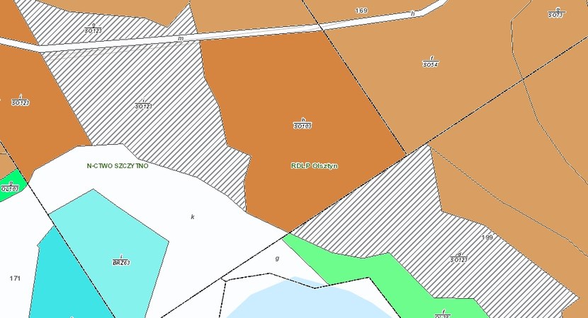
Contemporary management plans are created with the use of the newest technical achievements. The basic instrument is a forest digital map being a part of the spatial information system (Geographic Information System GIS). The map processes the data collected during field work and presents the results in a graphic form. For years, in forest management there have been applied more and more perfected methods of using aerial and satellite photographs, which complete the results of the fieldwork.
The forest management plan should include:
- Description of both forests and lands scheduled for afforestation,
- Analysis of forest economy in the past period,
- Nature conservation programme,
- Description of tasks concerning timber harvesting, afforestation and renewals, forest tending and protection, hunting management and creating forest infrastructure (buildings, roads).
The forest management plan is carried out on the basis of the instructions which are obligatory in the State Forests.


